Walks in Central Scotland

map key
Route Location
map key

1. Dunkeld

Route Map

Miles: 8 (13km)

Maps: OS Landranger 52

baa
Route Location

Details:

This is an easy but enjoyable walk. From Dunkeld railway station head down the steps and follow signs for the Inchewan Walk. After a while another sign indicates the walk to Birnam Hill, so follow this sign and climb steeply through woodland towards Birnam Hill and King’s Seat. After a short descent, make your way over open moorland towards Obney Hill and its summit trig point.

An easy walk now takes you down to the A822. Trail markers will take you back to Little Dunkeld and the end of the walk.

© Mike Pennington (cc)
The Obney Hills

© Mike Pennington (cc)
The Obney Hills

2. Rannoch Forest

Miles: 5 (8km)

Maps: OS Landranger 51

baa

Details:

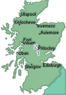
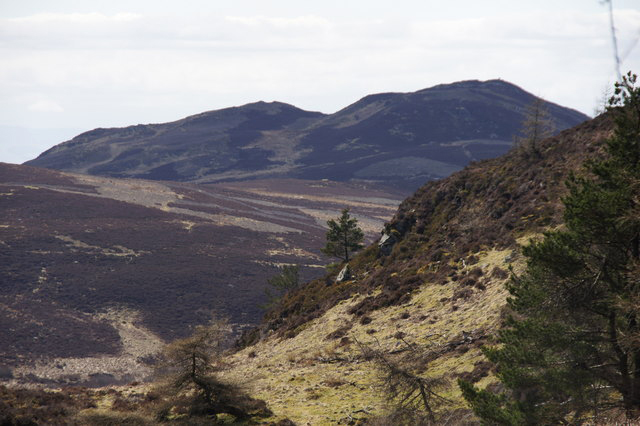
This circular walk beside the Allt na Bogair, begins and ends at the Forestry Commission car park in Carie. It is a relatively short walk, but offers some beautiful views and even on a wet day, the trees will shelter you for most of the time.

At the half way point, there is an opportunity to extend the walk by continuing north beside the small loch. You can then head towards Dall House, followed by turning east through the trees back to Carie.

© Richard Webb (cc)

Through the trees

Any product links included on this site are the most appropriate for backpacking and will save you time searching!
As an Amazon Associate, I earn from any qualifying purchases at no extra cost to you.

3 sheep